Maximize the use of your Excel spreadsheet data. Make mapping the easiest. Transform Excel data into visual analysis. We lead in data simplification and presentation. We are committed to deliver the tools needed to outpace competition.



Sites and apps similar to Felt include Google Maps, which has a free version. Other options are GMaps WV, OpenFreeMap, MapLibre and uMap. You're spoiled for choice with Map Services like Felt: we list more than 50 alternatives for Android, Mac, Windows, self-hosting and Linux.
Maximize the use of your Excel spreadsheet data. Make mapping the easiest. Transform Excel data into visual analysis. We lead in data simplification and presentation. We are committed to deliver the tools needed to outpace competition.

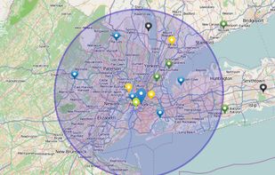
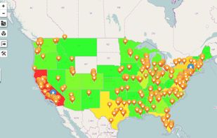
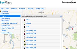
Use ZeeMaps to create, make, and publish interactive, customized maps. Make a map of places you have visited, your customers, friends, or relatives. Create a map of garage sales or crimes in your neighborhood, map your news story or wedding location.
 United States


Free no-code editor for interactive maps and data visualizations: choropleth, points, cartograms, flow maps, with built-in Italian geo-joins, published as responsive embeds.
 Italy
 EU
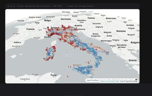
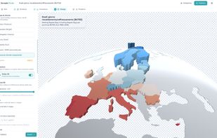
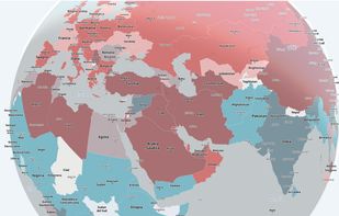
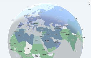


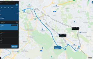
Web-based platform for trip planning offering live traffic info, multiple route options, device syncing, integration with mobile navigation, commute delay monitoring, map interactivity, vehicle type support, route optimization, experimental features, and secure account settings.
 NetherlandsEU


MapServer is an Open Source platform for publishing spatial data and interactive mapping applications to the web. Originally developed in the mid-1990’s at the University of Minnesota, MapServer is released under an MIT-style license, and runs on all major platforms (Windows...


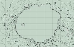
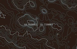
Topograph turns real elevation data into clean, customizable topographic graphics. Generate from data, upload your own sources, or search any location. Adjust contour density, styles, and color, then export as SVG, PNG, PDF, GeoJSON, DXF, or STL. Runs client-side.
United States
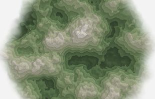


Google Maps API is a collection of APIs that enable you to overlay your own data on a customized Google Map. You can create engaging web and mobile applications with Google’s powerful mapping platform including satellite imagery, street view, elevation profiles, driving...


Map3 is a decentralised map network that is impartial, secure and extremely robust. It is free from control, free to participate, free base map. It is built to be governed by the Map3 community where individuals and organisations can host Map3 nodes.
 BelgiumEU
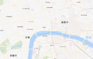


Offline navigation app providing worldwide maps from OSM, using Mapsforge-vtm for map display, Graphhopper for multi-mode routing, downloadable maps, turn-by-turn navigation, address search, privacy focus, no ads, lightweight interface, and community-supported updates.
 China
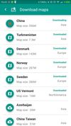
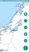


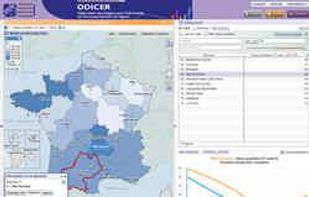
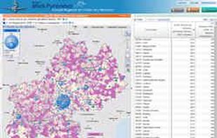
The Géoclip interactive mapping solution is proposed by EMC3. Géoclip permits to publish online thematic atlas or territorial observatories. Géoclip allows you to build web mapping applications for cartographic representations of statistical data.


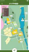
YourMapp lets you turn your custom maps into an interactive app. Add hotspots to image-based maps, linking to more and information. Embed it on the web or create a branded app with features such as geolocation, offline storage and push notifications.