


Freeware tool for Windows for showing and changing geo data and other metadata (IPTC/XMP/Exif) of digital camera image files.
Cost / License
- Free
- Proprietary
Platforms
- Windows
 Germany
 EU
EU
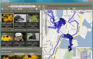

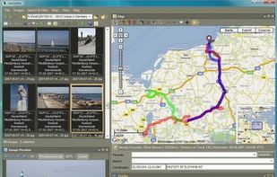

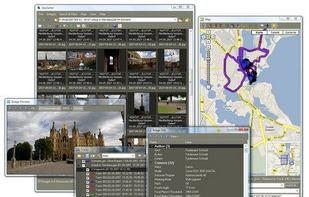


Apps similar to EXIF360 include Geosetter, which is free. Other options are GeoPhoto, Geotag, GeoTagNinja and GPicSync. You can choose from more than 10 Exif Renamers like EXIF360 for Windows, Mac, Linux, Android and iPhone.
Freeware tool for Windows for showing and changing geo data and other metadata (IPTC/XMP/Exif) of digital camera image files.
GermanyEU
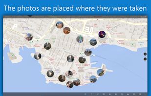
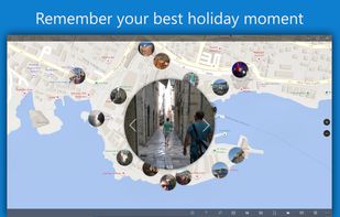
Ever wondered where you took all your great photos? Or want to know where one specific photo was shot? No problem with GeoPhoto!
GermanyEU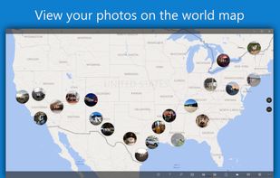


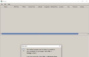
Geotag is an open source program that allows you match date/time information from photos with location information from a GPS unit or from a map



 DenmarkEU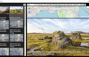


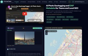
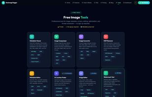
AI-powered image geotagging, EXIF/IPTC/XMP metadata editing, AI photo location finder, watermarking, image editing, and optimization — 9 free browser-based tools.
GermanyEU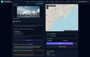


Geotagger 2.0 is a droplet for inserting GPS coordinates into your photos. Simply position Google Earth (version 4+ only) over the location you wish to insert into your images, then drag your images (jpegs only) onto the Geotagger icon. Once the images are tagged the informati.


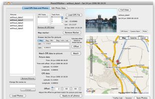
PhotoGPSEditor home page. PhotoGPSEditor is an editor for automatically matching GPS tracking data (latiyudes and longitudes) with the location at which a photo was taken. The information is then added to the meta-data asscoaiated with the file.


Add GPS capabilities to your camera for the fraction of the cost of a dedicated GPS logger.
 CzechiaEU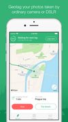
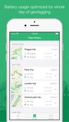



GPSPhotoLinker adds GPS position and location data to your photos. The latitude and longitude recorded by your GPS unit are linked and saved to your photos. GPSPhotoLinker automatically enters the city, state and country into the metadata.


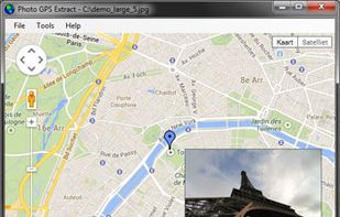
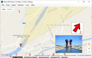
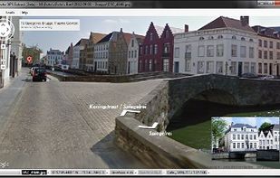
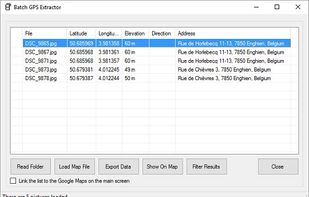
Photo GPS Extract is a free Windows-compatible software tool to quickly visualize the GPS location of a JPG photo: it will read the coordinates from the photo and show them on a Google Map.


 France


