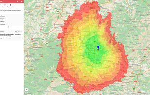
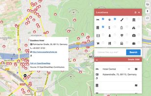
OpenRouteService.org as offers routing services by using user-generated, collaboratively collected free geographic data from OpenStreetMap. Please donate your geographic data to openstreetmap.org!.
 Germany
 EU



O


Apps similar to DriveBattle include CoMaps, which is free and open source. Other options are OpenStreetMap, Organic Maps, Google Maps and OsmAnd. You're spoiled for choice with GPS Navigation Services like DriveBattle: we list more than 100 alternatives for Android, iPhone, iPad, the web and Linux.
OpenRouteService.org as offers routing services by using user-generated, collaboratively collected free geographic data from OpenStreetMap. Please donate your geographic data to openstreetmap.org!.
GermanyEU
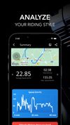
Connect with 100k+ passionate motorcycle & quad riders. Plan rides, track routes via GPS, share experiences, and stay updated. Features include digital speedometer, emergency SOS, ride logbook, GPX export, and user discovery.




Free navigation and traffic app offering offline OpenStreetMap-based maps, live traffic updates, voice guidance, automatic rerouting, walking mode, driver analytics, HD maps, POI searches with Foursquare integration, in more than 150 countries worldwide.
 United Kingdom
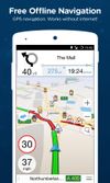
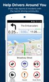
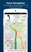


Find your way around the city and keep track of current traffic with your cell phone.
 Russia
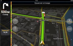


The Headway Project was born out of a frustration with the need to send current and future location data to a corporation in order to figure out how we’re getting from A to B. Offline-only maps apps can be frustrating to use, and sometimes suffer from performance problems, poor...


Flitsmeister is an app that helps you avoid fines, roadworks, traffic jams and accidents while driving. It warns you of speed cameras, speed enforcement zones, roadworks, delays and dangerous situations on the road.
 NetherlandsEU
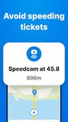
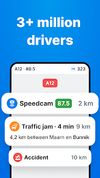



Assassin is designed to be the ultimate copilot for driving in the digital world. At a basic level, Assassin operates like an extension of your dashboard, showing information like your speed, position, altitude, and other relevant information.


Free GPS navigation using offline OpenStreetMaps, monthly updates, voice navigation in multiple languages, route planning, speed and camera alerts, 2D/3D maps, traffic info, CarPlay beta support, and customizable routing for over 200 countries.
 CzechiaEU
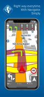
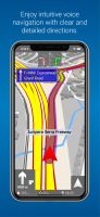
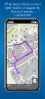


GPS navigation with offline, voice-guided routing for cars, trucks, HGVs, and caravans, providing real-time traffic, truck restriction avoidance, trip planning based on vehicle type, lane indicators, and a database of millions of preloaded places after free trial.
 United States

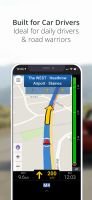



The only app that combines real-time alerts with the best offline radar detection alert system. With Radarbot, you will have the best radar alerts, real time traffic alerts and specific speed limit alerts for different vehicles (cars, motorbikes, trucks and commercial vehicles)...
 SpainEU


Supports offline vector maps for hiking, cycling, geocaching, boating, off-roading, skiing, and skating. Records tracks in the background, provides activity-specific map modes, elevation contours, hillshades, custom places, and map filtering for clarity and sharing.
Russia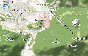
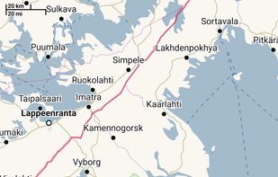
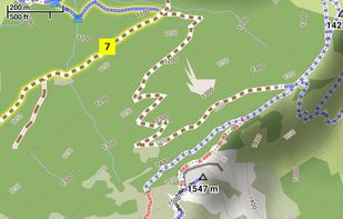
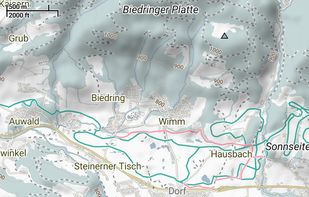


Plan trips and record GPS tracks for free, with the best outdoor app. Browse hiking trail maps, hunting units, and scout offroad camping trips.
United States