
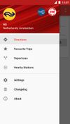
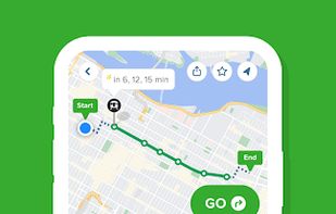
Transportr is the public transport companion that respects your privacy and your freedom. Transportr is a non-profit app developed by people around the world to make using public transport as easy as possible wherever you are.
 Germany
 EU








Apps similar to Derive - Walk & Dream include CoMaps, which is free and open source. Other options are OpenStreetMap, Google Maps, OsmAnd and Google Earth. There's no shortage of Map Services like Derive - Walk & Dream, with more than 50 alternatives for Android, iPhone, the web, iPad and Linux.
Transportr is the public transport companion that respects your privacy and your freedom. Transportr is a non-profit app developed by people around the world to make using public transport as easy as possible wherever you are.
GermanyEU
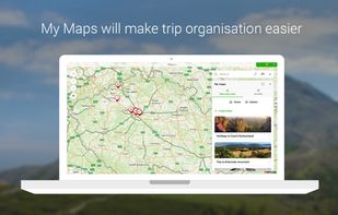
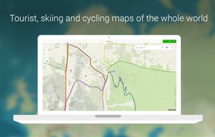
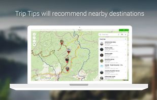
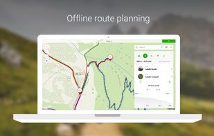
Offline global maps offer tourist, winter, and satellite views, offline search, route planning for travel modes, syncing trips, panoramic street photos, transit schedules, parking, amenities, fuel prices, tracker stats, water tourism info, and open hour details.
 CzechiaEU


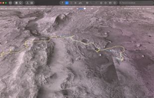
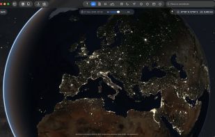
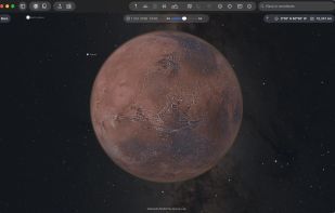
The Earth and its neighbors as a 3D globe and atlas for the Mac – maps and open geodata on real terrain.
GermanyEU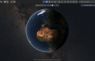


Real-time departures. Transit maps. Line status and real-time disruption alerts. Uber integration. Bike routing and live bike share info. Constant updates. Everything you need -- and may not even realize you need -- to manage your life in the city.
 United Kingdom




Marble is a Virtual Globe and World Atlas that you can use to learn more about Earth: You can pan and zoom around and you can look up places and roads. A mouse click on a place label will provide the respective Wikipedia article.
GermanyEU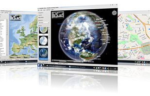

Goal of this project is to bring offline maps and navigation to Sailfish OS with native look and feel. OSM Scout for Sailfish OS is based on OSM Scout library.
CzechiaEU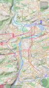
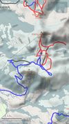
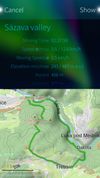


Provides GPS navigation for on-road and off-road journeys on Android and Linux, utilizing a forked libosmscout backend, with GPX reading and writing, compass, trip tracker, road routing, POI database, offline mapping, data import/export, and suitable for outdoor activities.
 FranceEU
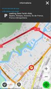
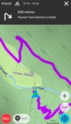


Transportia is a modern travel companion designed to make public transportation easier and more accessible.
CzechiaEU

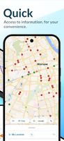


Explore the outdoors with AllTrails! Discover nature with hiking, biking, backpacking and running trails around the world. Log your hike, walk, run or mountain bike ride with our GPS activity tracker. Looking for a good spot for camping or backpacking?
 United States


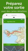


Public transport navigator that finds journeys between specified locations, and shows departures and real-time delay information.
GermanyEU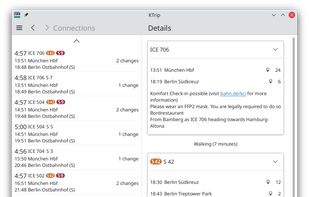


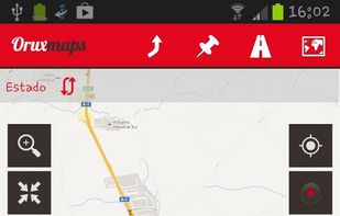
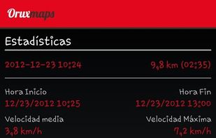
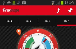
OruxMaps is an online/offline map viewer and track logger for Android. You can use OruxMaps for your outdoor activities (running, trekking, mountain bike, paragliding, flying, nautic sports, etc.)
Features:
Online map viewer The tiles used online can be cached, and can be used.
 SpainEU


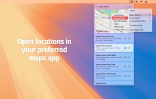
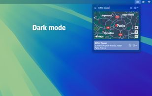
Quickly search for locations directly from your Mac’s menu bar and open them in Apple Maps, Google Maps, or OpenStreetMap.
 NetherlandsEU