Relief Maps is a GPS application focused on outdoor sports, the app is based on an beautiful and high-performance 3D map.



+4





The best GPS Navigation alternative to CoMaps is Organic Maps, which is both free and Open Source. If that doesn't suit you, our users have ranked more than 50 alternatives to CoMaps and many of them are GPS Navigation Services so hopefully you can find a suitable replacement. Other interesting GPS Navigation Service alternatives to CoMaps are OsmAnd, Google Maps, Cartes and Waze.
Relief Maps is a GPS application focused on outdoor sports, the app is based on an beautiful and high-performance 3D map.

Plan trips and record GPS tracks for free, with the best outdoor app. Browse hiking trail maps, hunting units, and scout offroad camping trips.
 United States



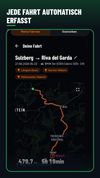
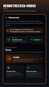
DriveBattle is the drive tracker for motorcycle and car crews. Every drive is recorded automatically - without opening the app. Compare yourself with your people, collect XP and levels, and share your best tours.



Want to plan a road trip with your friends? Plot Along provides a modern collaborative route planning experience on any device.
United States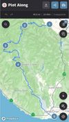



Offline maps with monthly updates, detailed OpenStreetMap data, turn-by-turn and voice navigation in nine languages, GPS track recording even in background, multilingual instant search, millions of POI, support for driving, cycling, walking, and customizable trip routes.
 Poland
 EU
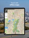
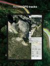
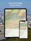


Open source mapping and GPS navigation featuring car, bike, or foot route planning, voice-guided turn-by-turn indicators, global coverage, units in kilometers or miles, and offline map support, powered by OpenStreetMap and Openrouteservice with points of interest search.
 SpainEU
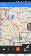
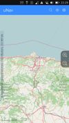



Navia is a navigation aid designed for blind and low-vision users. Explore the map by touch: slide a finger over the screen and hear the streets and places under it, with their distance from you. While you walk, Navia announces nearby places, and you can aim at a place to hear...
 GermanyEU