Atlas: GIS & Maps Alternatives
Atlas: GIS & Maps is described as 'The new standard for GIS software. Simple and powerful. Step into Atlas to explore, analyze and share geospatial data' and is a Map service in the travel & location category. There are more than 10 alternatives to Atlas: GIS & Maps for a variety of platforms, including Web-based, Mac, Windows, Self-Hosted and Android apps. The best Atlas: GIS & Maps alternative is Google Earth. It's not free, so if you're looking for a free alternative, you could try Google Earth or QGIS. Other great apps like Atlas: GIS & Maps are uMap, Mapbox Studio, VersaTiles and Placemark.
Alternatives list

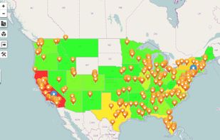
Maximize the use of your Excel spreadsheet data. Make mapping the easiest. Transform Excel data into visual analysis. We lead in data simplification and presentation. We are committed to deliver the tools needed to outpace competition.
Cost / License
- Freemium
- Proprietary
Platforms
- Mac
- Windows
- Online


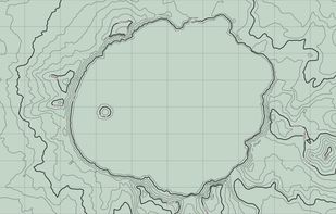
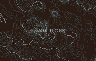
Topograph turns real elevation data into clean, customizable topographic graphics. Generate from data, upload your own sources, or search any location. Adjust contour density, styles, and color, then export as SVG, PNG, PDF, GeoJSON, DXF, or STL. Runs client-side.
 +2
+2


Street View – World Explorer transforms your iPhone into a window to the planet. Move from a map to real street-level imagery with a single tap, and experience places as if you’re standing right there. No complicated tools, no clutter—just pure exploration.


 +2
+2


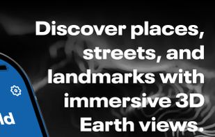
Explore the world in real-time with Live Earth Camera Earth3D. View 3D Earth maps, live street view, famous landmarks, and nearby places all in one navigation app.
Cost / License
- Free
- Proprietary
Platforms
- iPhone

 +5
+5


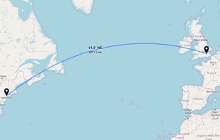
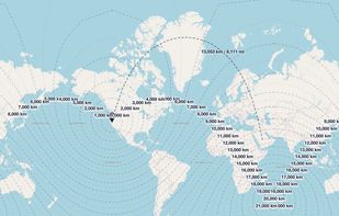
GeoUtil.com is a free, browser-based map and geography toolkit. Measure distances and areas, convert coordinates, optimize GeoJSON/TopoJSON, and visualize spatial data — all quickly, accurately, and without installing any software.
 +2
+2