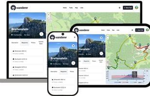
wanderer is a self-hosted trail database. You can upload your recorded tracks or create new ones and add various metadata to build an easily searchable catalogue.
Best alternatives are  RouteConverterand
 gpx.studio
19 alternativesRouteConverterandgpx.studio