wanderer is a self-hosted trail database. You can upload your recorded tracks or create new ones and add various metadata to build an easily searchable catalogue.
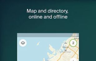
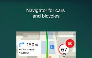
2GIS provides 3D-maps of 180+ cities, contacts of 1.5 million companies, car routing and public transport routes and and more! 2GIS is a complete and up-to-date directory of organizations with detailed cities’ maps.
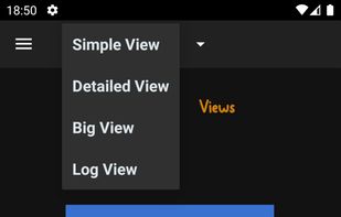
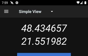
GPSLogger uses the GPS capabilities of your Android phone to log coordinates to GPS format files at regular intervals. This can be particularly useful if you want to geotag your photos after a day out or share your travel route with someone.
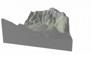
Topography is what makes Skiing, Hiking, Trail running and Mountain biking so exciting. You conquer those vertical distances with a lot of sweat and effort, but your tracking software only shows a boring 2D map. That's where CubeTrek comes in.
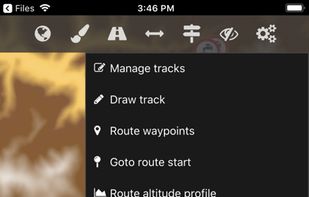
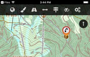
The Cartograph app views Mapsforge offline vector maps, offline raster maps, and online/WMS maps. It supports tracking, route search, overlays, hillshading, reliefs, track drawing, and has many other features.

 gpx.studioand

 +5
+5 Best alternatives are63 alternatives
 OpenStreetMapand

 +3
+3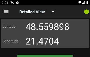 Best alternatives are19 alternatives

 +1
+1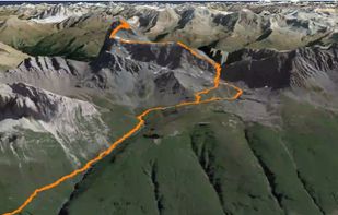


 +7
+7