Apps tagged with 'Geospatial Visualization'

All apps in Apps tagged with 'Geospatial Visualization' category. Use the filters below to narrow down your search. 
Copy a direct link to this comment to your clipboard
  1. GeoLibre icon
     2 likes

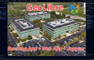
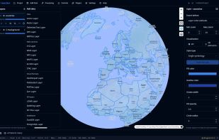
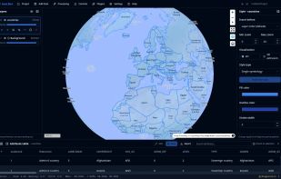
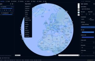
    A lightweight, cloud-native GIS platform for visualizing, exploring, and analyzing geospatial data across desktop and web environments, with a responsive layout for mobile screens.

    Cost / License

    • Free
    • Open Source (MIT)

    Application type

    Since

    • Since 2026 (updated Nov 2026)

    GitHub

    • GitHub stars: 8.7k

    Platforms

    • Windows
    • Mac
    • Linux
    • Self-Hosted
    • Docker
    • US flagUnited States
    GeoLibre screenshot 1
    GeoLibre screenshot 2
    GeoLibre screenshot 3
    +8
    GeoLibre screenshot 4
    24 alternatives
  2. wepisia icon
     1 like

    Open epidemiology platform for Africa : OpenEpi rewrite in React/TypeScript with epidemic simulation, geospatial mapping, in-browser R IDE, and multilingual support including Mooré, Wolof, Swahili and Haoussa.

    Cost / License

    • Free
    • Open Source (MIT)

    Since

    • Since 2026 (updated May 2026)

    GitHub

    • GitHub stars: 3

    Platforms

    • Online
    • BF flagBurkina Faso
    wepisia screenshot 1
    wepisia screenshot 2
    wepisia screenshot 3
    +6
    wepisia screenshot 4