
Best alternatives are  Wikipedia
9 alternativesWikipedia
 Wikipedia

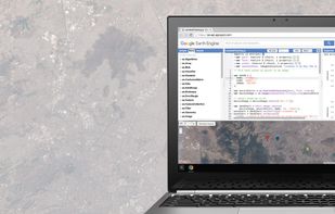
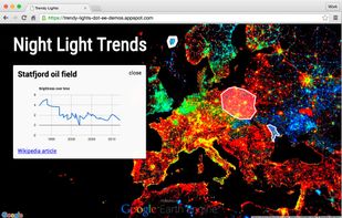
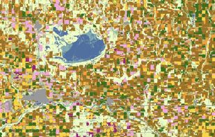
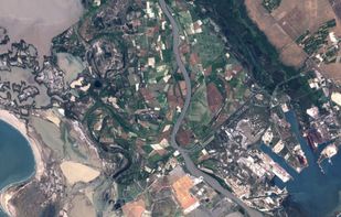
Google Earth Engine combines a multi-petabyte catalog of satellite imagery and geospatial datasets with planetary-scale analysis capabilities. Scientists, researchers, and developers use Earth Engine to detect changes, map trends, and quantify differences on the Earth's...
 United States


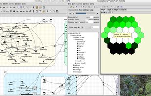
Multi-paradigm modelling and simulation software for complex dynamic systems in the earth, environmental and life sciences. Logic-based declarative modelling represents the interactions in these systems in a clearly structured, intuitive way.

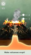
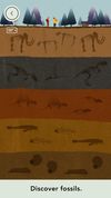
Dig into our planet and the forces that shape it. Trigger earthquakes! Make volcanos erupt! Discover fossils. Investigate plate tectonics, weathering, erosion, and deposition. Move glaciers and beaches.
United States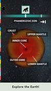


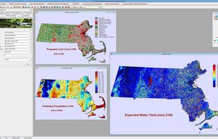
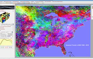
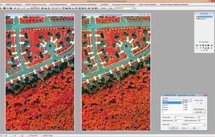
TerrSet is an integrated geospatial software system for monitoring and modeling the earth system for sustainable development.
United States