Apps tagged with 'Aerial Photography'

All apps in Apps tagged with 'Aerial Photography' category. Use the filters below to narrow down your search. 
Copy a direct link to this comment to your clipboard
  1. Picarta icon
     1 like

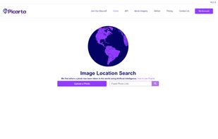
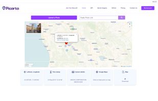
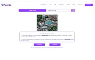
    Picarta is a powerful AI tool that identifies where any photo was taken by analysing visual content. Just upload an image, and Picarta returns accurate GPS coordinates—no metadata needed. Whether it’s a travel snapshot, drone footage, or a social media post, Picarta helps reveal...

    Cost / License

    • Freemium
    • Proprietary

    Since

    • Since 2025

    Platforms

    • Online
    • IT flagItaly
    • European Union flagEU
    Home Page
    AI results
    Interactive Map
    +2
    Aerial Imagery
    10 alternatives
  2. Flight made simple: Use the 3DR Solo app with your 3DR Solo drone to get live HD video and fingertip access to Solo’s smart flight and camera features.

    Cost / License

    • Free
    • Proprietary

    Since

    • Since 2016

    Platforms

    • iPhone
    • iPad
    • US flagUnited States
    3DRobotics 3DR screenshot 1
    3DRobotics 3DR screenshot 1
    3DRobotics 3DR screenshot 2
    +3
    3DRobotics 3DR screenshot 3
    3 alternatives
  3. Browser-based waypoint mission planner for DJI Mini, Air, Mavic and Lito drones: mapping grids, obliques, corridors, orbits, facades and smart 3D capture, exported for DJI Fly.

    Cost / License

    • Freemium
    • Proprietary

    Application type

    Since

    • New

    Platforms

    • Online
    Mission Planning App screenshot 1
    Mission Planning App screenshot 1
    Mission Planning App screenshot 2
    +1
    Mission Planning App screenshot 3
    3 alternatives
  4. Map property outlines into editable waypoint routes for photos, inspections, grids, orbits and repeat surveys, then export route files.

    Cost / License

    • Freemium
    • Proprietary

    Since

    • New

    Platforms

    • Online
    • Software as a Service (SaaS)
    • US flagUnited States
    Map a whole site: draw the area, and the passes, overlap, flights and time are worked out.
    One pre-flight brief: weather and light, airspace, terrain, batteries and the plan in one place.
    Export for any drone that flies waypoint missions: DJI KMZ, ArduPilot and PX4 route files, KML, GeoJSON or GPX.
    +1
    Real-estate photos: mark four corners, and the orbit views, corner shots and top-down photo are placed and aimed.
    8 alternatives