


Planisphere is an astronomy application that lets you use pinch and finger gestures to manipulate a map of the sky. As you zoom in finer detail comes into view. You can double tap on objects to get more information.


+7


StarCalc has been discontinued. Similar apps include Stellarium, which is free and open source. Other options are Celestia, Sky Map, KStars and Gaia Sky. There's no shortage of Star Maps like StarCalc, with more than 25 alternatives for iPhone, iPad, Windows, Android and Mac.
Planisphere is an astronomy application that lets you use pinch and finger gestures to manipulate a map of the sky. As you zoom in finer detail comes into view. You can double tap on objects to get more information.

A very simple overview of the northern and southern sky hemisphere map with the Constellation and approximate graphical position of the planets and of The Sun and of The Moon without ZOOMING.
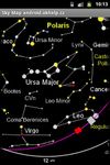
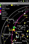
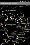


Just hold up and point the device to the sky and have fun! You can see any stars, constellations and deep sky objects you are watching in real time.
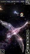
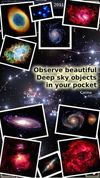
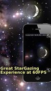


This program enables you to draw sky charts, making use of the data in 16 catalogs of stars and nebulae. In addition the position of planets, asteroids and comets are shown.
 Switzerland


Aladin is an interactive sky atlas allowing the user to visualize digitized astronomical images or full surveys, superimpose entries from astronomical catalogues or databases, and interactively access related data and information from the Simbad database, the VizieR service and...


Maximize the use of your Excel spreadsheet data. Make mapping the easiest. Transform Excel data into visual analysis. We lead in data simplification and presentation. We are committed to deliver the tools needed to outpace competition.
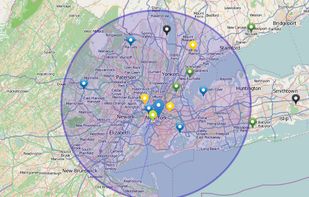
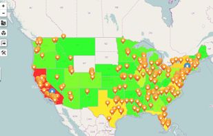


The WorldWide Telescope (WWT) is a Web 2.0 visualization software environment that enables your computer to function as a virtual telescope, bringing together imagery from the best ground and space-based telescopes in the world for a seamless exploration of the universe.
 United States


Mitaka is software for visualizing the known Universe with up-to-date observational data and theoretical models. Mitaka users can seamlessly navigate through space, from the Earth to the edges of the known Universe.
 Japan


Discover the fascinating relation between time and the cosmos. Enjoy this interactive learning tool and understand the concept of the celestial sphere and the apparent movement of the sky.
 United Kingdom


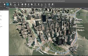
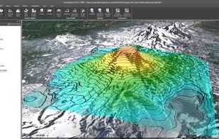
TerraExplorer is a powerful, easy to use tool to build, analyze, and navigate high resolution 3D world environments created by fusing aerial and satellite photography, terrain elevation data and other 2D and 3D information layers.onto a 3D map,.
United States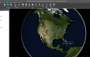


Try out the solar system simulator to see the distance to Mars or other planets. Point your iPhone to the sky and explore the movement of the sun, moon, planets and stars across the sky while you change time by swiping the display.


 France
 EU


