


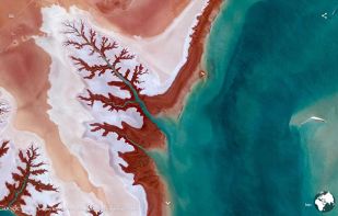
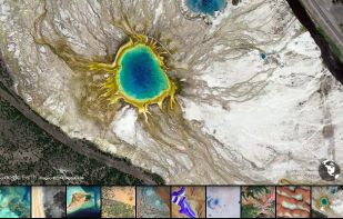
Earth View is a collection of the most beautiful and striking landscapes found in Google Earth.
Cost / License
- Free
- Proprietary
Since
- Since 2017




+2





Apps similar to Marble include CoMaps, which is free and open source. Other options are OsmAnd, Google Earth, Google Maps and MAPS.ME. There's no shortage of Map Services like Marble, with more than 50 alternatives for the web, Android, iPhone, Windows and iPad.
Earth View is a collection of the most beautiful and striking landscapes found in Google Earth.

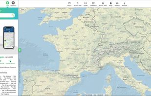
Online French mapping platform featuring detailed address and place search, interactive route planning, real-time traffic, public transit integration, customizable journeys, distance and cost calculations, and printable itineraries, accessible on both web and mobile devices.
 France
 EU


Android navigation app with high-quality offline HD maps, voice-guided turn-by-turn directions, speed and lane guidance, POI search by category, supports driving, biking and walking, automatic rerouting, itinerary planning, and multilingual interface for travelers.
 RomaniaEU





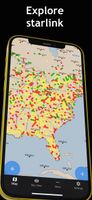
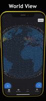
Find internet constellation satellites such as the SpaceX Starlink and Oneweb networks on the world map and in your area using augmented reality.



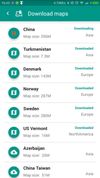
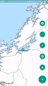
Offline navigation app providing worldwide maps from OSM, using Mapsforge-vtm for map display, Graphhopper for multi-mode routing, downloadable maps, turn-by-turn navigation, address search, privacy focus, no ads, lightweight interface, and community-supported updates.
 China



Universal Maps Downloader is a tool that help you to get small tile images from online maps:


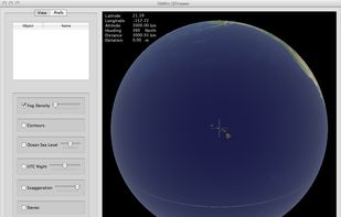
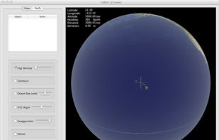
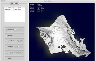
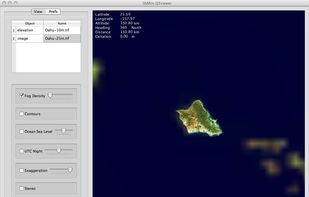
Libmini is free software that displays geographic terrain data at real-time. This is an example application of integrating libmini in the Qt user interface. The application, the libMini QTViewer, primarily uses libmini viewer functions but provides additional camera control.


A convenient application for travelers! It includes non-interactive transit maps of different cities in the world (without any additional download of maps).
 SlovakiaEU


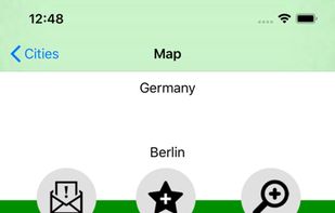
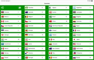


Street View – World Explorer transforms your iPhone into a window to the planet. Move from a map to real street-level imagery with a single tap, and experience places as if you’re standing right there. No complicated tools, no clutter—just pure exploration.
 United States


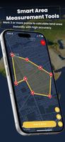


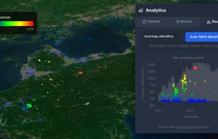
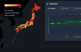
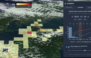
HooMap is a browser-based tool designed to transform CSV and Excel coordinate data into interactive maps in seconds. Built for researchers, students, and data enthusiasts, it allows you to visualize spatial data directly in your workflow without the need for complex GIS software...
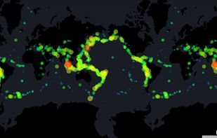


Explore the world in real-time with Live Earth Camera Earth3D. View 3D Earth maps, live street view, famous landmarks, and nearby places all in one navigation app.
United States




 Canada


