Freeware tool for Windows for showing and changing geo data and other metadata (IPTC/XMP/Exif) of digital camera image files.
Cost / License
- Free
- Proprietary
Platforms
- Windows
 Germany
 EU
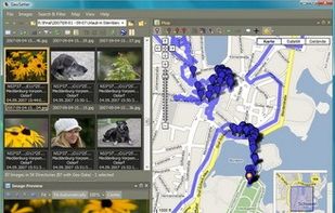

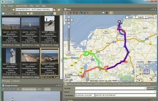

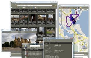


Apps similar to GeoTag Photos include Geosetter, which is free. Other options are Geotag, GeoTag for macOS, Pictomio and GeoImageTagger. In total there are eight Image Editors like GeoTag Photos for Windows, the web, Mac and Linux.
Freeware tool for Windows for showing and changing geo data and other metadata (IPTC/XMP/Exif) of digital camera image files.
GermanyEU
Geotag is an open source program that allows you match date/time information from photos with location information from a GPS unit or from a map
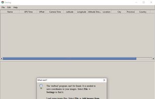


GeoTag is a freeware tool for Mac for showing and changing geo data of image files (e.g. images taken by digital cameras).
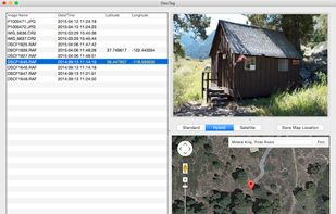


Pictomio is a software application intended for managing, categorizing, searching, and archiving photos as well as geotagging photos and videos that also allows you to generate animated 2D and 3D slideshows.
GermanyEU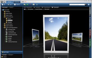

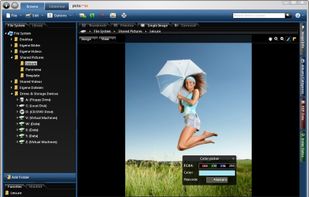


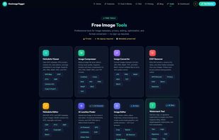
AI-powered image geotagging, EXIF/IPTC/XMP metadata editing, AI photo location finder, watermarking, image editing, and optimization — 9 free browser-based tools.
GermanyEU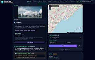
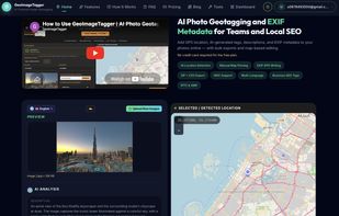

Geomakers is the only photo geotagging software in the world that allows you to add unlimited tags. What do we offer? More features, better performance, the best price.


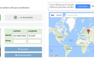
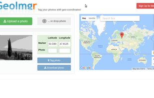
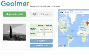
GeoImgr is a web-application to check the GPS geo-coordinates in the EXIF data of an JPG-image, show the location on the map and save new GPS geo-coordinates into the image.


Free GPS photo stamp tool that renders location data directly onto your photos — not just a coordinate readout in a sidebar.
 China