Live images of Earth, updated every 10 minutes with GOES and Himawari-8, and every 15 minutes with Meteosat. Zoom to Satelite Map view with Street names. Rain and Weather view.
 United Kingdom


Apps similar to Earthquake Globe include Zoom Earth, which is free. Other options are Overmorrow, Ventusky, Ocula and Sky Digital. You can choose from more than 10 Weather Forecast Tools like Earthquake Globe for iPhone, Android, iPad, the web and Windows.
Live images of Earth, updated every 10 minutes with GOES and Himawari-8, and every 15 minutes with Meteosat. Zoom to Satelite Map view with Street names. Rain and Weather view.
United Kingdom
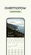
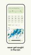
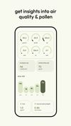


Ventusky All-in-One Weather is a fusion of 20+ of the world's best models, live radar, satellite and 40,000+ webcams, delivering industry-leading accuracy for planning everything from morning jogs to transatlantic flights.
 Czechia
 EU
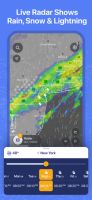
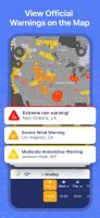
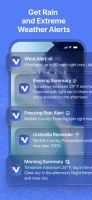


Ocula is a weather app built entirely using modern web standards in an attempt to create a great looking weather app that anyone can use on any device while also providing a simple PWA template for developers to build upon.
 Australia
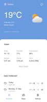
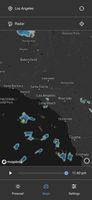
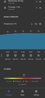


Sky Digital combines data from vetted sources such as the National Weather Service, NOAA, the High-Resolution-Rapid-Refresh (HRRR) model, and more for a well-balanced, world-class forecast. Efficiently access reliable weather information within a beautifully organized design.
 United States
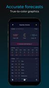

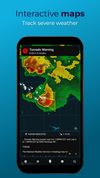


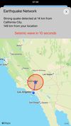
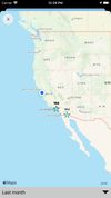
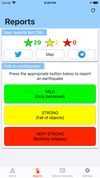
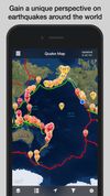
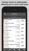
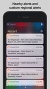
Earthquake Network is the most comprehensive app on earthquakes and for most world countries it is the only earthquake early warning system for receiving real time alerts.
 ItalyEU


OpenWeather - free weather data and forecast API. We provide quickly updated current weather and forecast for any location due to unique algorithms of weather calculation.
United Kingdom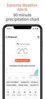
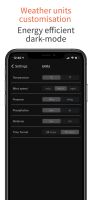
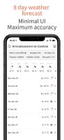


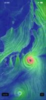
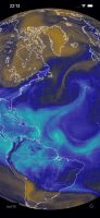
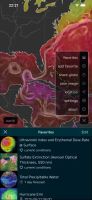
The official app of the popular website earth.nullschool.net!
Explore wind, weather, ocean, and pollution conditions, as forecast by supercomputers, on an interactive animated map.
Numerous features are available:
 Japan


 United States


 NetherlandsEU


GeoNetwork is a catalog app to manage spatially referenced resources. It provides powerful metadata editing and search functions as well as an interactive web map viewer. It is currently used in numerous Spatial Data Infrastrucutre around the globe.