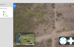
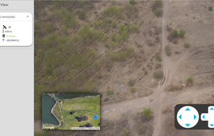
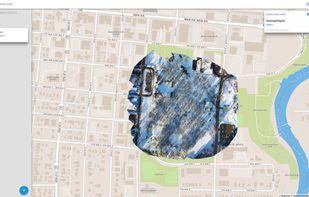
Maps Made Easy is a web application that lets users upload aerial photos, stitch the images and host created maps. Creating maps with a DJI Phantom 3 or Inspire 1 has never been easier.
M
AirCorp Photogrammetry is described as 'Hosting service, provided by iBrain Developers, for Drone data, in formats including JPEG/PNG (Photogrammetry), 3D Object (Mesh) data & Point-Cloud-Data in LAS/LAZ formats. It provides both free & subscription plans' and is an app in the web browsers category. There are more than 10 alternatives to AirCorp Photogrammetry for a variety of platforms, including Web-based, Windows, Linux, Mac and iPhone apps. The best AirCorp Photogrammetry alternative is Agisoft Metashape. It's not free, so if you're looking for a free alternative, you could try WebODM or MicMac. Other great apps like AirCorp Photogrammetry are RealityCapture, Pixpro, 3DSOM and Petro Outlet.
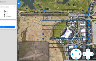
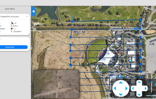
Maps Made Easy is a web application that lets users upload aerial photos, stitch the images and host created maps. Creating maps with a DJI Phantom 3 or Inspire 1 has never been easier.
Botlink enables users to fly drones, create aerial maps, and automatically sync those maps with industry software such as Procore, Egnyte, and AgLeader SMS.

Cloud based solution for remote drone operations. Exclusively built for Subject Matter Experts, Drone Operation Managers and Operators.