





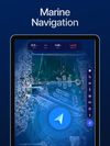
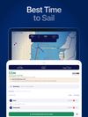
Helm is a marine navigation app for United States waters. It combines NOAA electronic navigational charts, USACE eHydro dredging surveys, state lake elevation data and live NOAA CO-OPS tide observations into a single depth figure calculated against the boat's draft, and it...
Cost / License
- Freemium
- Proprietary
Application type
Platforms
- iPhone
- iPad
 United Arab Emirates


Best alternatives are 
7 alternatives