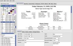
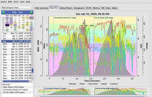
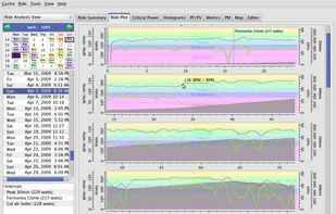
Performance Software for Cyclists, Runners, Triathletes and Coaches.
Cost / License
- Free
- Open Source (GPL-2.0)
Application type
Platforms
- Mac
- Windows
- Linux



+6


Apps similar to GPXSee include MTL Explorer, which is free and open source. Other options are OpenTracks, Strava, FitoTrack and ASICS Runkeeper. You're spoiled for choice with Run Trackers like GPXSee: we list more than 50 alternatives for iPhone, Android, the web, iPad and Mac.
Performance Software for Cyclists, Runners, Triathletes and Coaches.

 France
 EU
EU
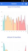
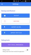


A complete set of tracking & training tools to help you get into running—or just get better at it. Now with personalized Form Coaching tips for Garmin users!.
 United States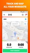
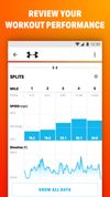



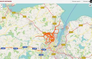
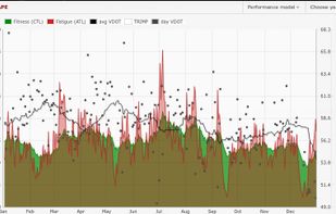
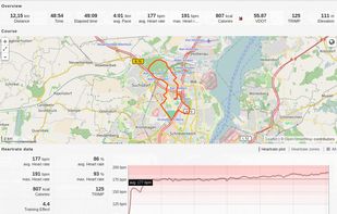
Runalyze analyzes your complete training, calculates your shape, computes prognoses and visualizes your performance in different plots. Configure your own sport types - It's not limited to running.
 GermanyEU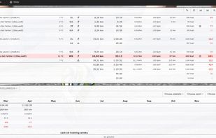


Turtle Sport is an open source software developed to communicate with GPS devices : Garmin, Suunto, etc. The following functions are available:
Retreive your activities from GPS devices. Import and export activities in GPX, hst, tcx, kml, fit. Configure the athlete data: weight.
FranceEU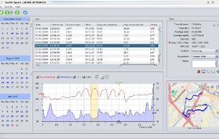


Get a different view of your Apple Health and Activity data with daily, weekly, monthly & yearly dashboards. Share your progress, reach your goals.
United States


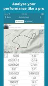
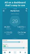
Your active life in one app. Bike, run, walk or just heading out... keep track of all your outdoor pursuits. Map My Tracks is your all-in-one sport & GPS activity tracker for your active life.
 United Kingdom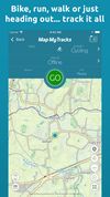


Kuta is a free iOS app built specifically for treadmill interval training. Unlike general running apps that rely on GPS, Kuta is designed exclusively for the treadmill — showing exact speed targets (km/h or mph) for each interval.
 SwedenEU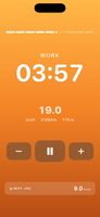




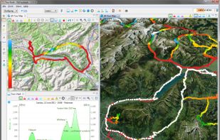
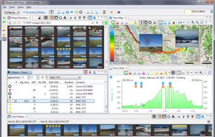
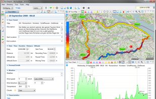
MyTourbook is free software to visualize and analyze tours which are recorded by a GPS device, bike- or exercise computer and ergometer.
GermanyEU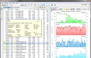


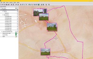
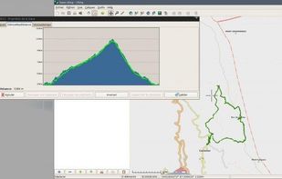
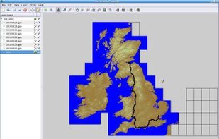
Viking is a free/open source program to manage GPS data. You can import, plot and create tracks, routes and waypoints, show OSM, Terraserver, Bing Aerial and other maps, geotag images, see real-time GPS position, get geocaches, control items, etc.



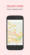
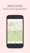
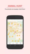
Runbit combines training and play into one by taking you on a journey and challenging you to find new ways to explore.