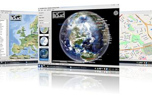
Marble is a Virtual Globe and World Atlas that you can use to learn more about Earth: You can pan and zoom around and you can look up places and roads. A mouse click on a place label will provide the respective Wikipedia article.
 Germany
 EU
EU


There are many alternatives to Google Earth for Windows if you are looking for a replacement. The best free Windows alternative is Marble, which is also Open Source. If that doesn't suit you, our users have ranked more than 50 alternatives to Google Earth and 15 are free and available for Windows so hopefully you can find a suitable replacement. Other interesting free Windows alternatives to Google Earth are Google Earth VR, NASA World Wind, KStars and SAS.Planet.
Marble is a Virtual Globe and World Atlas that you can use to learn more about Earth: You can pan and zoom around and you can look up places and roads. A mouse click on a place label will provide the respective Wikipedia article.
GermanyEU
The world has so many beautiful and amazing places to visit. If we're lucky, we're able to travel and see a few of them. But even the most active travelers can only see a fraction. What if we could see them all?
 United States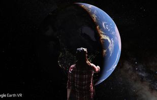
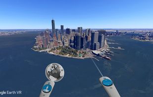
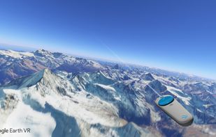
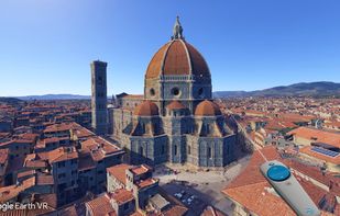


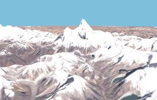
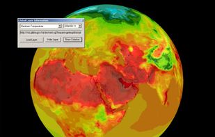
World Wind lets you zoom from satellite altitude into any place on Earth. Leveraging Landsat satellite imagery and Shuttle Radar Topography Mission data, World Wind lets you experience Earth terrain in visually rich 3D, just as if you were really there.
United States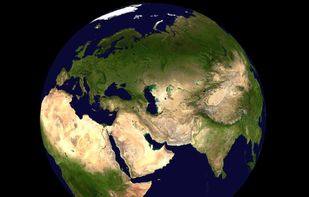


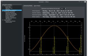
Open-source astronomy software offering accurate night sky simulation with 100 million stars, Ekos astrophotography suite, stellar observation planner, "What's up Tonight" tool, FOV editor, and a variety of celestial catalogs for comprehensive astronomical exploration.
GermanyEU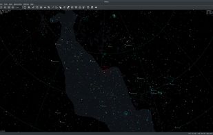




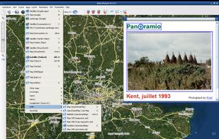
This program allows work with any maps service if you can describe getting picture by longitude/latitude(if you want you can write config file or simplepascal script to describe how obtain needle photos).


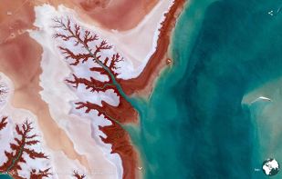
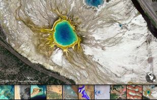
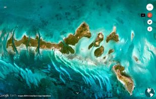
Earth View is a collection of the most beautiful and striking landscapes found in Google Earth.


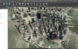
TerraExplorer is a powerful, easy to use tool to build, analyze, and navigate high resolution 3D world environments created by fusing aerial and satellite photography, terrain elevation data and other 2D and 3D information layers.onto a 3D map,.
United States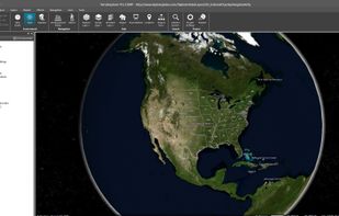
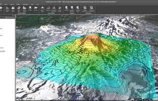


Maximize the use of your Excel spreadsheet data. Make mapping the easiest. Transform Excel data into visual analysis. We lead in data simplification and presentation. We are committed to deliver the tools needed to outpace competition.
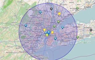
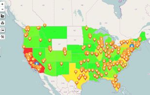


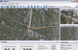
MapSphere is a manageable way to view and organize geographical data of different kind. This might be raster maps and satellite imagery from various sources, your own information received from GPS, tracks of your friends, whatever you want.
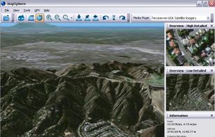


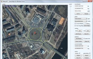
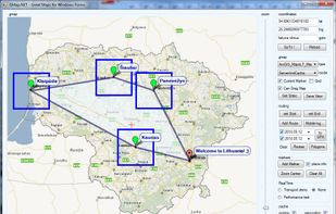
GMap.NET is great and Powerful, Free, cross platform, open source .NET control. Enable use routing, geocoding, directions and maps from Google, Yahoo!, Bing, OpenStreetMap, ArcGIS, Pergo, SigPac, Yandex, Mapy.cz, Maps.lt, iKarte.