GeoNetwork icon
GeoNetwork icon

GeoNetwork

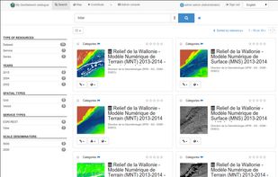
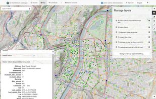
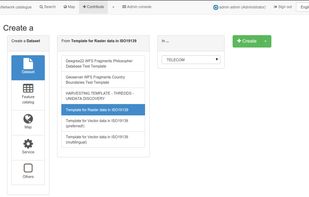
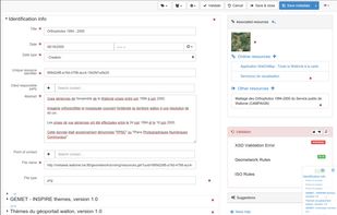
GeoNetwork is a catalog app to manage spatially referenced resources. It provides powerful metadata editing and search functions as well as an interactive web map viewer. It is currently used in numerous Spatial Data Infrastrucutre around the globe.

GeoNetwork provides an easy to use web interface to search geospatial data across multiple catalogs. The search provides full-text search as well as faceted search on keywords, resource types, organizations, scale, ... Users can easily refine the search and quickly gets to the records of interests.

Cost / License

  • Free
  • Open Source

Platforms

  • Mac
  • Windows
  • Linux
  • Online
The interactive map viewer based on OpenLayers 3 provides access to OGC services (WMS, WMTS) and standards (KML, OWS). Connected to the catalog, users can easily find new services, layers and even dynamic maps to combine them together. User maps can be annotated and printed and shared with others.
Describe information using the online metadata editing tools. The metadata editor support ISO19115/119/110 standards used for spatial resources and also Dublin Core format usually used for opendata portal.
+3
The editor provides uploading of data, graphics, documents, pdf files and any other content type. It supports among other:
multilingual metadata editing,
validation system,
suggestion to improve metadata quality
geopublication of layers to publish geodata layers in OGC services (eg. GeoServer)
-
No reviews
1like
0comments
0alternatives
0news articles

Features

Suggest and vote on features
  1.  Metadata Editor

 Tags

  • opensource-platform
  • analyze-information
  • catalogs
  • Metadata
  • spatial-data

GeoNetwork News & Activities

Highlights All activities

Recent activities

No activities found.

GeoNetwork information

  • Developed by

    GeoNetwork
  • Licensing

    Open Source (GPL-2.0) and Free product.
  • Written in

  • Alternatives

    0 alternatives listed
  • Supported Languages

    • English

GitHub repository

  •  483 Stars
  •  504 Forks
  •  630 Open Issues
  •   Updated  
View on GitHub
GeoNetwork was added to AlternativeTo by bostjanpan on and this page was last updated .
No comments or reviews, maybe you want to be first?
Post comment/review

What is GeoNetwork?

The GeoNetwork project started out in year 2001 as a Spatial Data Catalogue System for the Food and Agriculture organisation of the United Nations (FAO), the United Nations World Food Programme (WFP) and the United Nations Environmental Programme (UNEP).

At present the project is widely used as the basis of Spatial Data Infrastructures all around the world.

The project is part of the Open Source Geospatial Foundation (OSGeo) and can be found at GeoNetwork opensource.

GeoNetwork Videos

Official Links